The ghost of a wall still hovers over modern-day Berlin, and nowhere is this more evident than when you consult an east and west berlin map. What seems like a single, unified city today was, for decades, a jigsaw puzzle brutally torn in half, its pieces guarded by concrete and barbed wire. Understanding how this division manifested on a map isn’t just a historical exercise; it’s a critical tool for grasping the city’s soul, its scars, and its incredible resilience.
Using a map to navigate the history of divided Berlin allows you to visualize the ideological chasm that defined the Cold War, tracing the very lines where families were separated and freedom was denied. It transforms abstract history into tangible routes and landmarks.
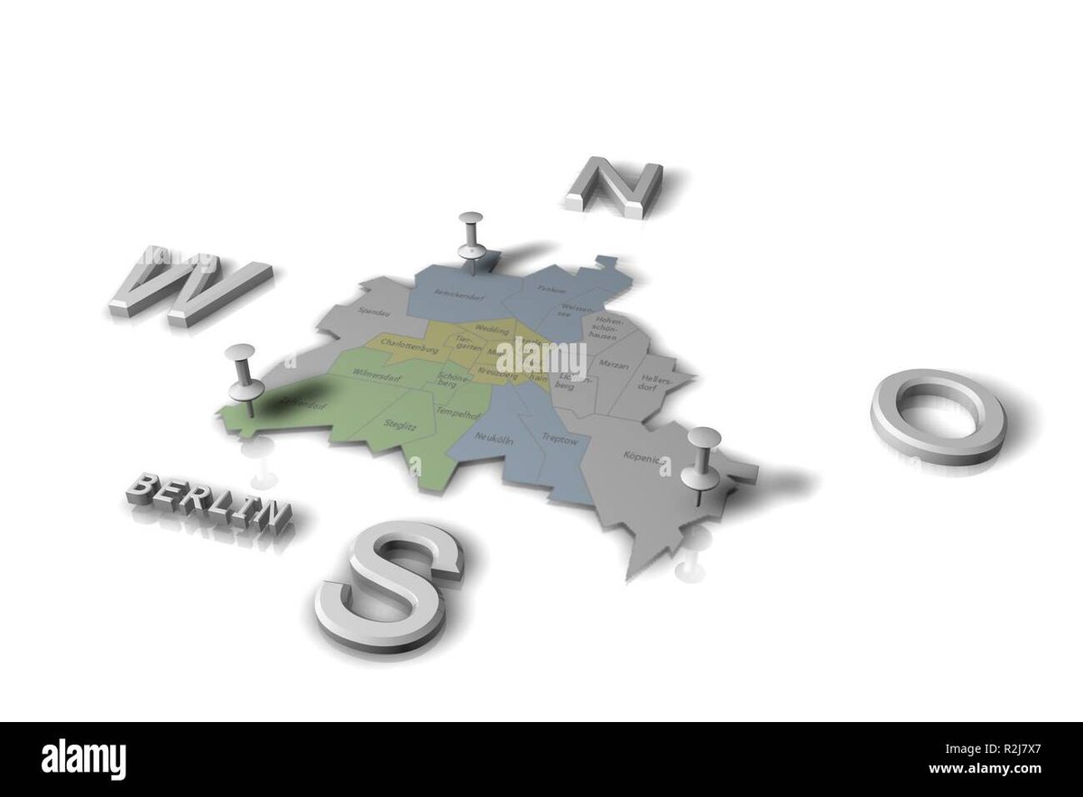
At a Glance: Mapping Divided Berlin
- Visualize the Cold War: Learn how historical maps physically depicted the ideological divide between East and West.
- Identify Key Features: Understand where the Wall, death strip, and checkpoints were located.
- Trace Historical Borders: See how the Wall encircled West Berlin, separating it from East Berlin and East Germany.
- Locate Modern Remnants: Discover how today’s maps guide you to remaining Wall segments, memorials, and museums.
- Plan Your Exploration: Get practical tips for navigating Berlin to experience its divided past firsthand.
The Blueprint of Division: Why the East and West Berlin Map Matters
In 1949, Germany’s post-World War II landscape solidified into two distinct nations: the democratic Federal Republic of Germany (West Germany) and the communist German Democratic Republic (East Germany). Berlin, despite lying entirely within East Germany, mirrored this division. Allied powers carved it into four sectors, creating a democratic West Berlin surrounded by communist territory. This unique geography made West Berlin a vulnerable, yet vital, outpost of freedom.
The true mapping of division began starkly on August 13, 1961, with the construction of the Berlin Wall. Its primary purpose was to halt the mass migration of East Germans seeking a better life in the West—a hemorrhage of talent and population that threatened the GDR’s existence. What had been a relatively permeable border, traversable with a city map, suddenly became an impenetrable barrier. The Wall didn’t just divide a city; it fundamentally reshaped how anyone, from a casual visitor to a seasoned resident, would interpret an east and west berlin map. It etched the political reality onto the physical landscape.
Deciphering the Iron Curtain on Paper: Key Map Features
To truly appreciate the history, an east and west berlin map from the Cold War era, or one annotated for historical context, highlights critical features:
- The Main Wall Line: This was often depicted as a thick, solid line. However, it wasn’t a single barrier. The Berlin Wall system was comprised of two parallel concrete walls, each approximately 12 feet (3.6 meters) high. Maps might show one primary line, but the reality was a complex, layered barrier.
- The “Death Strip”: Between the two walls lay the notorious “death strip”—a barren, heavily guarded zone. This strip was wide enough to include watch paths, floodlights, alarm systems, anti-vehicle trenches, barbed wire, and even minefields in some sections. On a map, this would often be represented as a wider shaded area or distinct zone, not just a single line. It’s crucial to understand that crossing this strip was a near-impossible feat, often resulting in death for those who attempted it.
- Encirclement of West Berlin: The Wall stretched over 96 miles (155 kilometers) through Berlin, completely encircling West Berlin. This isolated segment of the city was geographically part of East Germany but politically aligned with the West. An east and west berlin map vividly illustrates this encirclement, showing West Berlin as an island within a communist sea. This geographic anomaly made West Berlin a strategic hotspot throughout the Cold War.
Think of it like this: a typical city map guides you through streets and neighborhoods. An east and west berlin map from that period, however, highlighted absence—the missing connections, the cut-off roads, the abrupt stops at the Wall’s edge. It wasn’t just about showing where things were, but where they couldn’t be. For a deeper dive into the specific routes and locations of the Wall itself, you can Explore the Wall’s historic route.
Navigating the Invisible Divide: Checkpoints and Crossing Points
On any detailed east and west berlin map of the divided city, you’d find specific markers for the few designated crossing points. These weren’t just roads; they were choke points, heavily controlled gateways between two worlds.
- Checkpoint Charlie: Arguably the most famous, Checkpoint Charlie was the primary crossing for foreign visitors and diplomats. On a map, it would be clearly marked at the intersection of Friedrichstraße and Zimmerstraße. This site became a symbol of Cold War tension, often depicted in spy thrillers.
- Bornholmer Straße: This checkpoint gained immense historical significance as the first to open on November 9, 1989, marking the initial breach of the Wall. Its location on the map highlights a less glamorous, but ultimately pivotal, crossing for ordinary East Germans.
- Glienicker Brücke: Known as the “Bridge of Spies,” this bridge over the Havel River connected West Berlin with Potsdam (in East Germany) and was famously used for prisoner exchanges between the superpowers. Its map location outside the immediate city center emphasizes its role in high-stakes diplomatic maneuvers.
- Oberbaumbrücke: Initially an important bridge for trade and transport, it became a pedestrian-only crossing after the Wall’s construction. Its specific location spanning the Spree River, connecting Kreuzberg (West) and Friedrichshain (East), shows how even pedestrian movement was meticulously controlled.
- Brandenburg Gate: While a major landmark, the Brandenburg Gate was inaccessible for 28 years, standing directly in the “death strip.” On an east and west berlin map from that era, it would often appear near the Wall but on the East Berlin side, a poignant symbol of division rather than a crossing point.
These checkpoints weren’t mere road signs; they were heavily fortified structures with guardhouses, inspection points, and armed personnel. The routes leading to them were tightly controlled, making any unauthorized approach extremely dangerous.
The Map’s Evolution: From Wall to Memorials
The fall of the Berlin Wall on November 9, 1989, dramatically altered the political and physical landscape. Maps instantly became obsolete as new crossings opened spontaneously. The formal reunification of Germany on October 3, 1990, erased the hard border from the maps, but the historical impact remained.
Today, an east and west berlin map—or rather, a contemporary Berlin map with historical overlays—shows a different kind of division: one preserved for memory and education.
- East Side Gallery: This 1.3-kilometer stretch of the Wall, the longest remaining section, is covered in over 100 murals. Its location along the Spree River in Friedrichshain is prominently marked on tourist maps, signifying its importance as an open-air art gallery and memorial.
- Berlin Wall Memorial at Bernauer Strasse: This extensive memorial site preserves original segments of the Wall, a guard tower, and a recreated section of the “death strip.” Maps guide visitors to this area, which offers one of the most comprehensive insights into the Wall’s structure and impact. Here, you can truly visualize the two walls and the deadly space in between.
- Checkpoint Charlie Museum and Replica: While the original checkpoint structures are gone, a replica guardhouse and several museums stand at its historic location, drawing visitors keen to understand its Cold War role. A modern map points directly to this site, which still buzzes with historical significance.
- Potsdamer Platz: Once a desolate, heavily monitored border zone, Potsdamer Platz is now a vibrant commercial and cultural hub. Historical markers and small fragments of the Wall are preserved amidst the modern architecture, reminding visitors of its past. Maps of the area often highlight these subtle historical nods.
These sites are not just tourist attractions; they are educational tools. Using a modern east and west berlin map (or a Berlin map annotated with historical data) allows you to connect the present-day cityscape with its divided past, appreciating how urban planning has either erased or deliberately highlighted the scars of history.
Your Practical Guide: Using an East and West Berlin Map Today
Exploring Berlin’s divided past with a map in hand is an incredibly rewarding experience. Here’s how to make the most of it:
- Start with an Overview Map: Begin with a physical or digital map that clearly marks the general route of the Berlin Wall. Many tourist maps or dedicated historical maps will have this overlay. This gives you a foundational understanding before diving into specific sites.
- Pinpoint Key Memorials and Remnants: Use your map to locate the major sites mentioned above: East Side Gallery, Berlin Wall Memorial at Bernauer Strasse, Checkpoint Charlie, and Potsdamer Platz. These are your primary anchor points.
- Utilize Public Transport: Berlin’s public transport system (U-Bahn, S-Bahn, trams, buses) is excellent for reaching these locations. Your map should show U-Bahn and S-Bahn lines. For instance:
- East Side Gallery: Accessible via S-Bahn (Ostbahnhof) or U-Bahn (Warschauer Straße).
- Bernauer Strasse Memorial: Easily reached by U-Bahn (Bernauer Straße).
- Checkpoint Charlie: Close to U-Bahn (Kochstraße or Stadtmitte).
- Potsdamer Platz: Served by both U-Bahn and S-Bahn.
- Look for the “Berliner Mauerweg”: This dedicated cycling and walking path largely follows the former course of the Wall. Maps specifically highlighting this route allow for a comprehensive, immersive experience. It’s marked by paving stones, signs, and information panels.
- Seek Out Historical Markers: Even where the Wall is gone, look for subtle cues on your map or in person. Bronze strips embedded in the street indicate the Wall’s former path, especially in central areas. Pavement markings, like double cobblestone lines, also signify the Wall’s route.
- Consider Guided Tours: While a map provides the layout, a guided tour can enrich your understanding with narratives and anecdotes. Many tours are designed around a map-based route, explaining what you’re seeing at each marked location.
- Digital vs. Physical Maps: Both have merits. Digital maps (like Google Maps with historical overlays) offer GPS navigation and real-time public transport information. Physical maps can be better for getting a broader sense of the geography and making notes. A combination is often ideal.
Case Snippet: Imagine standing at Potsdamer Platz with a historical east and west berlin map. Today, it’s bustling with skyscrapers. Your map, however, would show it as an empty, desolate “death strip.” This stark contrast—guided by your map—powerfully illustrates the city’s transformation and the sheer scale of the Wall’s impact.
Common Questions About Mapping Divided Berlin
Q: Was the Berlin Wall just a single line on the map?
A: No, the Berlin Wall was a complex system, often consisting of two parallel concrete walls separated by the wide “death strip.” While some simplified maps might show a single line, it was a multi-layered barrier. Historical maps often used shading or multiple lines to represent its true breadth.
Q: How do modern maps show the former division of Berlin?
A: Modern maps don’t show an active division, but many tourist and historical maps will overlay the former Wall’s route as a dashed line or a different color. In the city itself, bronze plaques, double rows of cobblestones, and the Berliner Mauerweg trail physically mark its former path.
Q: Can you still see the “death strip” on an actual map today?
A: Not as an active “death strip.” However, at the Berlin Wall Memorial at Bernauer Strasse, a section of the “death strip” has been meticulously preserved and recreated, allowing visitors to visualize its size and features. On maps, this memorial area is clearly marked.
Q: Were there any parts of Berlin that were “neutral” on the map?
A: No. Every part of Berlin was either East or West. The only “neutral” ground was the space within the “death strip” itself, which was a no-man’s-land controlled by East German border guards.
Q: How did the U-Bahn and S-Bahn lines appear on an east and west berlin map during the division?
A: West Berlin’s U-Bahn and S-Bahn lines often passed through East Berlin territory without stopping, leading to “ghost stations” that were boarded up and heavily guarded. On maps, these lines would often appear as unbroken routes, but locals knew which stations were inaccessible. East Berlin’s network was separate.
Planning Your Journey Through a Divided Past
Effectively using an east and west berlin map isn’t just about finding locations; it’s about connecting with the human story of division and reunification. It’s about understanding the challenges of escape, the tension of checkpoints, and the ultimate triumph of freedom.
Your map becomes a guide to:
- Understanding the Scale: Appreciating the vast distance the Wall covered and how it truly isolated West Berlin.
- Visualizing the “Death Strip”: Grasping the physical danger inherent in the space between the walls.
- Connecting Landmarks: Seeing how the Brandenburg Gate, for example, was once isolated but is now central.
- Tracing Personal Histories: Imagining the routes people took, whether to cross legally or attempt escape.
Armed with a historical perspective and a good map, you’re not just a tourist; you’re an explorer navigating the tangible legacy of one of the 20th century’s most profound political divides.


