Ancient Egyptian Geography: Nile’s Gift And Desert’s Embrace
Ancient Egyptian civilization, a beacon of innovation and enduring culture, owes its very existence to its unique geographical setting. Picture a narrow ribbon of fertile land snaking through a vast, arid landscape. This is the story of ancient Egypt, a nation profoundly shaped by the life-giving Nile River and the protective embrace of the surrounding deserts. Let’s explore how these geographical features dictated the rhythm of life, from agriculture to trade, and even the very nature of Egyptian society.
The Dual Nature of Egypt: Black Land and Red Land
The ancient Egyptians intuitively understood the dichotomy of their environment, dividing their world into two distinct zones: the “black land” (Kemet), the fertile floodplains nourished by the Nile, and the “red land” (Deshret), the harsh, unforgiving deserts stretching to the east and west. This fundamental division shaped their agricultural practices, settlement patterns, and worldview. It’s almost impossible to comprehend how different life was for ancient egyptian farmers than it is today because there weren’t large urban centers outside the Nile Valley. The red land was more than just a barrier; it was a source of valuable resources and a protective shield against invaders.
The Mighty Nile: A River of Life and Civilization
The Nile River was, without exaggeration, the lifeblood of ancient Egypt. Flowing northward from its sources in Central Africa, it carved a fertile valley through the desert, providing water for drinking, irrigation, and transportation. Its annual, predictable flooding, known as the Inundation, was the linchpin of Egyptian agriculture. This natural phenomenon deposited nutrient-rich silt onto the land, creating incredibly fertile soil ready for planting. The predictable timing of the Nile’s flood cycle structured the Egyptian calendar into three distinct seasons: Akhet (flooding), Peret (planting), and Shemu (harvesting).
Upper and Lower Egypt: Two Kingdoms United
Ancient Egypt was also geographically divided into Upper and Lower Egypt. Upper Egypt, located in the south, was characterized by a narrow river valley flanked by cliffs. Lower Egypt, in the north, encompassed the broad, fan-shaped Nile Delta, where the river branches out before meeting the Mediterranean Sea. These two regions were distinct in terms of landscape and, initially, political organization. Eventually, they were united under a single ruler, solidifying the foundation of a powerful and unified kingdom.
The Inundation: A Blessing with Potential for Calamity
The annual flooding of the Nile, occurring roughly from June to September, was carefully anticipated by the ancient Egyptians. However, too much or too little flooding could spell disaster, leading to famine or widespread disruption. Interruptions to this critical cycle are now theorized to have contributed to periods of instability and even the collapse of dynasties. The importance of the Nile is what makes the explanation of why is egypt called the so profound.
The Deserts Around Egypt: Protection, Resources, and Isolation
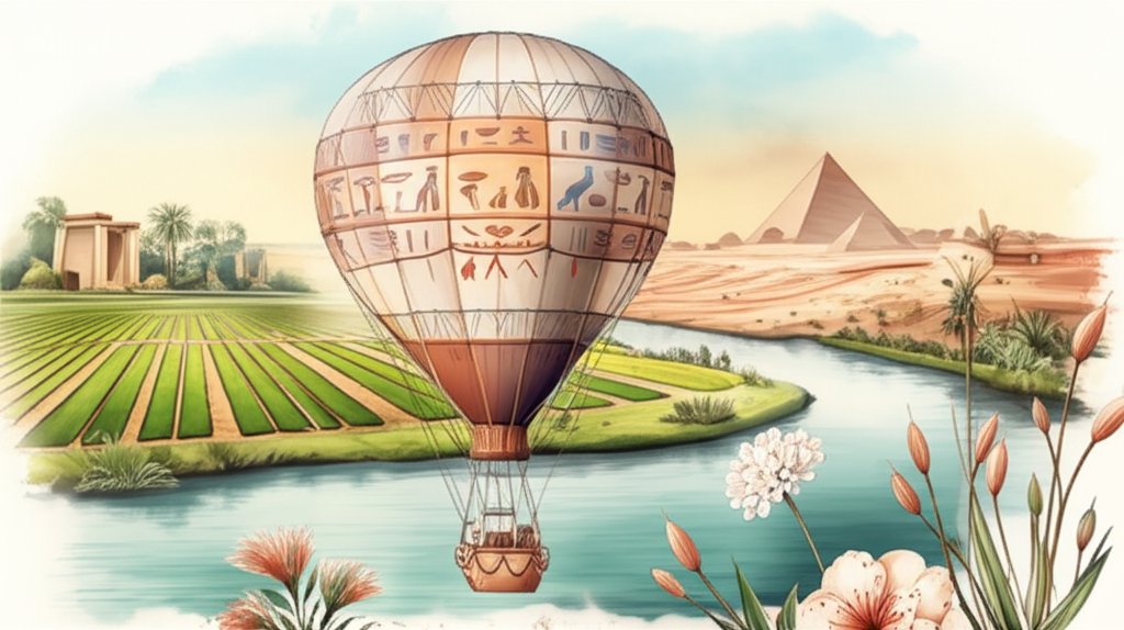
The deserts surrounding the Nile River Valley played a crucial role in shaping ancient Egyptian civilization. They acted as natural barriers, shielding Egypt from invasion and fostering a sense of security.
- Defense: The vast expanses of sand and rocky terrain were difficult for armies to cross, providing a buffer against external threats.
- Resources: The deserts were rich in valuable resources, including stone for building, minerals like natron, copper, and gold, and gemstones such as emerald and turquoise.
- Isolation: While the deserts offered protection, they also contributed to a degree of isolation, limiting interaction with neighboring cultures.
Climate and Adaptation
Ancient Egypt was defined by a hot, dry desert climate with minimal rainfall. The scorching “Khamasin” wind, blowing from the south between March and May, brought extremely high temperatures. Coastal areas, however, benefited from the moderating influence of the Mediterranean Sea. Egyptians adapted to this harsh climate in many clever ways.
- Sustainable Architecture: They built sustainable homes using mud bricks and reeds, materials that provided insulation and helped regulate indoor temperature.
- Irrigation Systems: They developed sophisticated irrigation systems to manage water flow from the Nile, ensuring a reliable supply for agriculture.
- Clothing: Egyptians wore light, loose-fitting clothing made from linen to stay cool in the scorching heat.
Trade and Transportation
The Nile River served as the primary artery for trade and transportation throughout ancient Egypt. Boats were used to transport goods and people up and down the river, connecting Upper and Lower Egypt and facilitating trade with neighboring regions.
- Exports: Egypt exported a variety of goods, including papyrus, grains, linen, and metals.
- Imports: They imported timber, spices, and luxury items, which were not readily available within their borders.
- Trade Routes: The Nile connected Egypt to the Mediterranean Sea and the Red Sea, opening up trade routes to other parts of the ancient world.
Lasting Legacy: Lessons from the Nile
The story of ancient Egyptian geography is a testament to the power of adaptation and the profound influence of the environment on human civilization. The Nile River, with its predictable flooding, provided the foundation for a prosperous agricultural society. The deserts offered protection and resources, while presenting challenges that spurred innovation. Understanding this intimate relationship between the land and the people of ancient Egypt provides valuable insights into the rise and enduring legacy of this remarkable civilization. The intricate connection between the Egyptians and their environment is truly remarkable.










