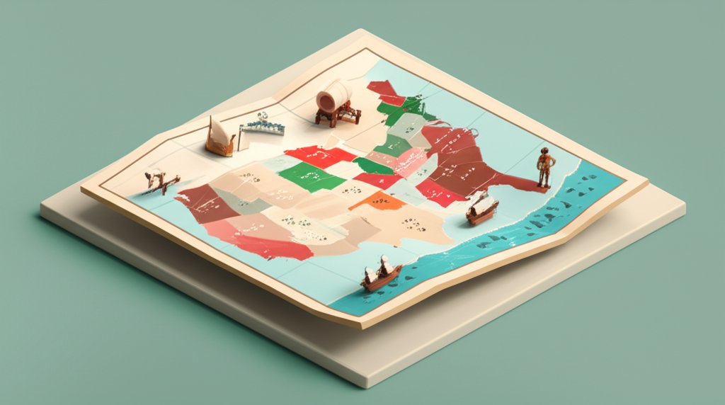
Looking at a modern map, it’s hard to imagine the nation confined to the Atlantic seaboard. But the first official map of the original United States tells a story not of a continent-spanning power, but of a fragile, ambitious republic defined as much by its uncertain borders as by its 13 founding states. This initial map, established by the 1783 Treaty of Paris, was less a finished portrait and more a bold, contentious sketch of a country that had yet to truly define itself.
Understanding this foundational map is the key to grasping the sheer scale and pace of the nation’s subsequent expansion. It reveals the geopolitical pressures, internal conflicts, and strategic vision that set the stage for two centuries of growth.
At a Glance: Key Takeaways
- Defining the “Original”: The original U.S. wasn’t just the 13 colonies, but all the territory granted by the 1783 Treaty of Paris, extending from the Atlantic to the Mississippi River.
- Internal Land Disputes: The first major challenge was getting the original states, with their vast and conflicting colonial-era land claims, to cede western territories to the new federal government.
- The Blueprint for Growth: The Land Ordinance of 1785 and the Northwest Ordinance of 1787 created a system for surveying, selling, and governing new lands, establishing the process for turning territories into states.
- Geopolitical Chessboard: Early maps highlight the precarious position of the U.S., bordered by British Canada, Spanish Florida, and French Louisiana, with powerful Indigenous nations controlling much of the interior.
- From Paper to Reality: The original map represented a claim, not a reality. Actually controlling, settling, and integrating this vast territory was the central project of the nation’s first decades.
Beyond the Colonies: What the 1783 Treaty of Paris Actually Defined
When we picture the original United States, we often think of the familiar strip of 13 colonies along the coast. But the nation born from the American Revolution was far larger. The 1783 Treaty of Paris, which officially ended the war, granted the new country an enormous expanse of land that more than doubled the territory of the colonies.
This treaty established the first official boundaries:
- North: The Great Lakes and the St. Lawrence River, bordering British Canada.
- South: The 31st parallel, bordering Spanish Florida.
- East: The Atlantic Ocean.
- West: The Mississippi River, bordering the vast Louisiana territory, then controlled by Spain.
This western border was a massive diplomatic victory. Securing the Mississippi River gave the United States control over vital transportation routes for agricultural goods from the interior, fueling future economic growth and westward migration.
However, these lines on a map, often drawn by European diplomats using outdated charts, created immediate problems. Borders were imprecise, leading to decades of disputes with Britain over the northern boundary and with Spain over the southern one. More importantly, the treaty completely ignored the sovereignty of the numerous Indigenous nations who inhabited these lands.
The First Great Compromise: Ceding State Land Claims
Before the federal government could even think about governing its new western territory, it had to resolve a messy internal conflict. Several of the original states had “sea-to-sea” charters from their colonial days, granting them claims to land that stretched indefinitely westward.
- Virginia’s Claim: By far the largest, it included modern-day West Virginia, Kentucky, Ohio, Indiana, Illinois, Michigan, and Wisconsin.
- Other Major Claims: North Carolina (claimed Tennessee), Georgia (claimed parts of Alabama and Mississippi), and Connecticut (claimed a strip of land across Ohio) also held significant western territories.
States without western claims, like Maryland and Delaware, refused to ratify the Articles of Confederation until the “landed” states agreed to cede their territories to the new national government. They argued that this land, won by the collective effort of all states in the Revolution, should be a national resource.
This process was slow and contentious but ultimately essential. Between 1781 and 1802, the states gradually relinquished their claims. This act transformed the map of the original United States from a patchwork of competing state interests into a unified national domain, creating the public land that the federal government could use to raise revenue and encourage settlement. This process of organizing new territories became a blueprint for the nation’s future growth, a story you can explore in more detail as you Discover America’s territorial history.
A Practical Playbook for Growth: Surveying and Selling the West
Claiming territory is one thing; controlling and integrating it is another. To turn the vast, unmapped wilderness into a functional part of the country, Congress passed two landmark pieces of legislation. These acts provided the practical framework for shaping the American landscape.
The Land Ordinance of 1785: The Grid Takes Shape
This law established the Public Land Survey System (PLSS), a revolutionary method for dividing land. Instead of using natural features like rivers and trees for boundaries (the “metes and bounds” system common in the original colonies), the PLSS imposed a rational, geometric grid.
How the PLSS Worked:
- Townships: The land was divided into square townships, six miles on each side.
- Sections: Each township was further subdivided into 36 one-square-mile sections (640 acres each).
- Public Use: Section 16 of every township was reserved for the maintenance of public schools, a visionary act that linked westward expansion with education.
If you’ve ever flown over the American Midwest and seen the perfect checkerboard of farms and roads, you are seeing the legacy of the Land Ordinance of 1785. This system made land easy to measure, sell, and tax, greatly accelerating organized settlement.
The Northwest Ordinance of 1787: From Territory to Statehood
While the Land Ordinance provided a map for settlement, the Northwest Ordinance provided a political map for governance. It established the process by which a territory could become a state, ensuring that new settlements would not be permanent colonies of the original 13.
The Three-Stage Path to Statehood:
- Initial Governance: Congress would appoint a governor and judges to rule the territory.
- Elected Legislature: Once the population reached 5,000 free adult males, the territory could elect its own legislature.
- Statehood: Upon reaching a population of 60,000, the territory could write a state constitution and apply for admission to the Union on an equal footing with the original states.
Critically, the Northwest Ordinance also banned slavery in the new territories north of the Ohio River. This decision had profound consequences, drawing a geographic line between free and slave states that would define American politics for the next 70 years. The first states created under this process were Ohio (1803), Indiana (1816), and Illinois (1818).
How to Read an Early U.S. Map: A Field Guide

Analyzing a historic map is like reading a primary source document. It reveals the knowledge, ambitions, and biases of its time. When you examine a map of the original United States from the 1780s or 1790s, here’s what to look for.
| Feature to Analyze | What It Reveals | Example |
|---|---|---|
| Date and Cartographer | The map’s perspective and accuracy. A British map might show different borders or names for places than an American one. The date tracks evolving knowledge. | An Abel Buell map (1784), one of the first made by an American, shows patriotism and early boundary ideas. |
| Western Boundaries | The Mississippi River should be the clear western edge. How it’s drawn-accurately or vaguely-shows the extent of actual exploration and knowledge of the interior. | Early maps often had a distorted shape for the Mississippi’s upper reaches. |
| State Claims | Look for dotted lines extending west from states like Virginia or North Carolina. These show the pre-cession land claims and the internal divisions of the early republic. | A 1785 map might still show Virginia’s vast claim reaching into the Ohio Valley. |
| Indigenous Territories | The presence (or absence) of Native American nations. Many maps labeled large areas with the names of tribes like the “Cherokee” or “Iroquois,” acknowledging their control. | The “Indian Reserve” west of the Appalachians, established by the British in 1763, still appears on some early U.S. maps as a reminder of prior claims. |
| Forts and Outposts | Small symbols for forts along rivers like the Ohio or Mississippi. These represent the fragile and scattered presence of U.S. military power in a vast, contested land. | Fort Washington (modern-day Cincinnati) was a key military post in the fight for control of the Ohio Country. |
| By looking for these details, you can see the map of the original United States not just as a geographic document, but as a snapshot of a nation wrestling with its identity, its neighbors, and the immense challenge of turning its territorial ambitions into a reality. |
Quick Answers to Common Questions
Q: Did the original United States include Florida?
No. The 1783 Treaty of Paris established the southern border with what was then Spanish Florida. The United States didn’t acquire Florida until the Adams-Onís Treaty with Spain in 1819, which resolved long-standing border disputes and consolidated American control of the Southeast.
Q: Why does the map of the original United States extend to the Mississippi River?
This was a major diplomatic achievement secured by American negotiators Benjamin Franklin, John Adams, and John Jay. The British initially wanted the boundary to be the Appalachian Mountains. By pushing for the Mississippi, the American delegation secured a territory with immense natural resources and vital river access, setting the stage for future westward expansion.
Q: Were all 13 colonies immediately “states” on the first map?
Yes and no. They declared themselves independent states in 1776, but they operated as a loose confederation under the Articles of Confederation. The unified federal government under the U.S. Constitution wasn’t established until 1789. Furthermore, some states, like Vermont, were disputed territories for years (claimed by both New York and New Hampshire) before being admitted as the 14th state in 1791.
Q: What is the most significant feature of a map of the original United States?
Its vast, largely unmapped western territory east of the Mississippi. This area, inhabited by powerful Indigenous confederacies and coveted by European empires, represented both the nation’s greatest promise and its most profound challenge. The struggle to control, survey, and govern this land defined the first generation of American politics.
From a Fragile Claim to a Continental Nation
The map of the original United States is a foundational document in American history. It represents the starting point—a bold territorial claim secured through war and diplomacy. But it was an unfinished project, filled with vague borders, internal conflicts, and vast areas controlled by people who had no say in the treaty.
The true genius of the early republic lay not just in acquiring this territory, but in creating a practical, repeatable system for integrating it. The ordinances of 1785 and 1787 provided the grid lines and the political roadmap that allowed the nation to grow in a relatively orderly fashion. This framework transformed the abstract lines on a map into the towns, farms, and states that would eventually stretch across a continent, setting a precedent for the dramatic territorial growth that would follow.










