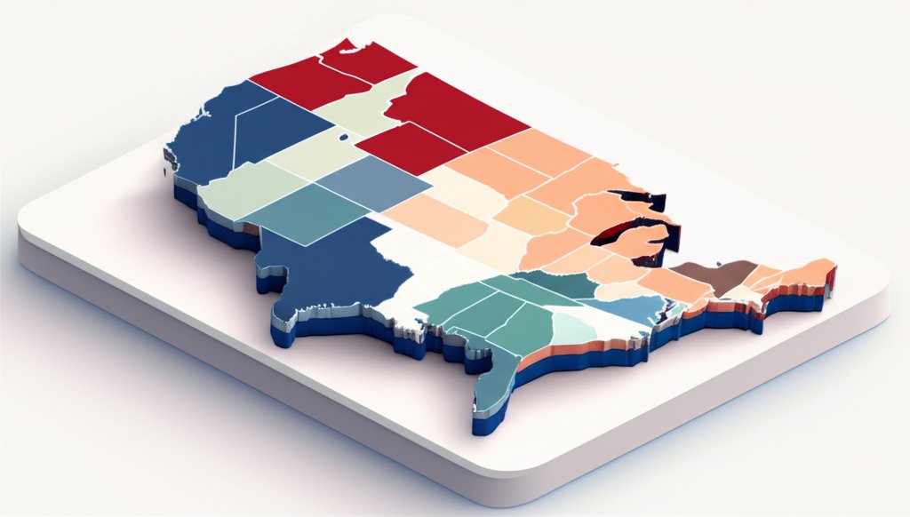
A map feels like a statement of fact—a fixed, authoritative document. But the america map history tells a far more dynamic story, one of ink and ambition, of treaties signed and territories seized. Every line on the map of the United States wasn’t just drawn; it was negotiated, fought for, and paid for in both dollars and lives. It’s a cartographic story of a fledgling coastal republic exploding across a continent in less than a century.
Looking at a modern map, it’s easy to take the familiar shape of the U.S. for granted. But that shape is the result of a dramatic and often turbulent process of expansion. From a sliver of land along the Atlantic, the nation grew in massive bursts, transforming its destiny and the lives of everyone in its path.
The Story at a Glance
Before we dive in, here’s a quick overview of how the U.S. map evolved:
- Rapid Expansion: The United States more than doubled its size with just a few key acquisitions, most notably the Louisiana Purchase in 1803.
- A Mix of Methods: The nation grew through a combination of purchase, diplomacy, annexation, and war. It wasn’t a single, neat process.
- Coast to Coast: The concept of “Manifest Destiny” drove the U.S. to expand westward, reaching the Pacific Ocean by the mid-19th century.
- Beyond the Mainland: The final shape of the modern 50-state U.S. wasn’t settled until the mid-20th century with the inclusion of Alaska and Hawaii.
- Maps Tell Many Tales: Historical maps document more than just borders. They show exploration routes, Native American lands, military campaigns, and the spread of infrastructure like railroads.
The First Strokes on the Canvas: From Colonies to a New Nation
Before the United States was a nation, it was an idea confined to thirteen British colonies clinging to the Atlantic coast. The earliest European maps of the region were often wildly inaccurate, filled with speculative geography and vast, empty spaces labeled “terra incognita.” These maps reflected a European perspective, largely ignoring the complex societies and established territories of hundreds of Native American tribes.
When the Revolutionary War ended with the Treaty of Paris in 1783, the United States officially appeared on the world map. This first iteration of the country was already substantial, stretching from the Atlantic to the Mississippi River and from the Great Lakes down to (but not including) Florida.
This fledgling nation was a bold new experiment in self-governance. Seeing the Map of the original US next to a modern one drives home just how much ground was yet to be covered. The map was a promise, but the blank spaces to the west were a question mark that would soon be answered with aggressive expansion.
Manifest Destiny in Ink: How the US Grew in Leaps and Bounds

The 19th century was defined by “Manifest Destiny”—the belief that the United States was divinely ordained to expand across the North American continent. This ideology fueled a period of astonishing territorial growth that fundamentally redrew the country’s borders.
The Louisiana Purchase: The Deal of a Century
In 1803, President Thomas Jefferson orchestrated the single greatest land deal in American history. For just $15 million, the U.S. purchased the Louisiana Territory from a financially strained France, led by Napoleon Bonaparte.
This wasn’t just a small addition. The Louisiana Purchase added a staggering 828,000 square miles to the country, effectively doubling its size overnight. The territory stretched from the Mississippi River to the Rocky Mountains and from the Gulf of Mexico to the Canadian border.
Jefferson immediately commissioned Meriwether Lewis and William Clark to lead an expedition to explore and map this vast new territory. Their journey from 1804 to 1806 was not only a feat of endurance but also a critical cartographic mission, providing the first detailed maps of the American West and establishing a U.S. presence in the region.
Drawing Lines in the Sand (and Swamps)
While the Louisiana Purchase secured the heartland, the southern border remained a point of contention with Spain. After years of disputes, the Adams-Onís Treaty of 1819 resolved several key issues.
In this agreement, Spain ceded Florida to the United States. In return, the U.S. agreed to pay $5 million in claims by American citizens against Spain and, crucially, to recognize a clear, defined border between U.S. territory and Spanish Texas. This act of drawing a firm line on the map prevented further conflict—for a time.
The Lone Star Joins the Constellation
Texas won its independence from Mexico in 1836, becoming the “Lone Star Republic.” For nearly a decade, it functioned as an independent nation. However, many Texans were of American origin and favored joining the United States.
In 1845, the U.S. formally annexed Texas, admitting it to the Union as the 28th state. This single act added another 389,166 square miles of territory. But it came at a cost. The annexation infuriated Mexico, which still considered Texas its own, and became a direct cause of the Mexican-American War.
From Sea to Shining Sea: The War with Mexico
The Mexican-American War (1846–1848) was a brief but transformative conflict. The resulting Treaty of Guadalupe Hidalgo was a massive victory for the United States. Mexico was forced to cede a vast expanse of land that now comprises the entire American Southwest—including modern-day California, Nevada, Utah, Arizona, and parts of New Mexico, Colorado, and Wyoming.
This “Mexican Cession,” combined with the 1846 Oregon Treaty with Britain that established the northern border at the 49th parallel, finally fulfilled the vision of Manifest Destiny. The United States now stretched from the Atlantic to the Pacific.
Callout: Not All Lines Are Straight
Ever wonder why the western states are so boxy? Much of the American West was divided using a grid system established by the Land Ordinance of 1785. Surveyors drew straight lines along latitudes and longitudes, creating the geometric borders we see today. In contrast, eastern states often follow natural boundaries like rivers and mountain ridges, a holdover from colonial-era charters.
Beyond the Contiguous: Expanding the American Footprint
With the mainland largely settled, the United States began to look beyond its contiguous borders. Two key acquisitions in the Pacific and the Arctic would complete the 50-state union we know today.
“Seward’s Folly”: The Alaskan Purchase
In 1867, Secretary of State William Seward championed the purchase of Alaska from the Russian Empire. At the time, the deal was widely mocked as “Seward’s Folly” or “Seward’s Icebox.” Many Americans couldn’t understand why the government would spend $7.2 million—about two cents per acre—on a vast, frozen wilderness.
History, of course, proved Seward right. The discovery of gold in the 1890s triggered the Klondike Gold Rush, and Alaska later proved to be rich in oil, natural gas, and other resources. Its strategic location, bordering the Arctic Ocean and sitting close to Asia, also became invaluable.
The Pacific Kingdom: The Annexation of Hawaii
The story of Hawaii’s inclusion is more complex and controversial. For centuries, Hawaii was an independent kingdom with a rich Polynesian culture. By the late 19th century, however, American and European business interests, primarily in the sugar industry, had grown powerful.
In 1893, these business interests, with the support of U.S. Marines, orchestrated the overthrow of Queen Liliʻuokalani. The islands were declared a republic and, in 1898, were formally annexed by the United States. This move secured a crucial naval base at Pearl Harbor and extended American influence deep into the Pacific.
More Than Just Borders: What Historical Maps Truly Reveal

A nation’s history is written in more than just its territorial outlines. The broader america map history includes a rich variety of specialized maps that offer windows into different facets of the past. These maps tell stories of people, conflict, and progress.
- Indigenous Homelands: Before European contact, the continent was home to countless Native American nations. Historical maps of tribal territories, cultural areas, and language families help us visualize a pre-colonial America and understand the scale of displacement that occurred.
- Exploration and Settlement: Maps trace the routes of famous explorers like Coronado (1540–1542) and Lewis and Clark, showing how the vast continent was gradually charted and understood by newcomers. Settlement maps illustrate the westward flow of pioneers from 1675 through the late 1800s.
- Military History: An entire library of maps exists to document America’s conflicts. You can find detailed battle maps from the Revolution, the War of 1812, the Civil War, and the World Wars, showing troop movements, strategic positions, and the geographic context of key engagements.
- Infrastructure and Demographics: Other maps show the growth of the nation’s veins and arteries—the canals and railroads that connected the country. Population maps, meanwhile, document demographic shifts, immigration patterns, and the growth of cities over time. To see these changes layered over one another, you can Explore the US timeline map to get a better sense of how these events unfolded.
Common Questions About America’s Changing Map
The story of America’s borders is full of fascinating details. Here are answers to a few common questions.
How did the U.S. states get their unique shapes?
It’s a mix of logic and legacy. Many eastern state boundaries follow natural features like the Mason-Dixon Line (originally a survey line) or the Ohio River. As the country moved west, the federal government adopted the grid-based Public Land Survey System, which led to the large, rectangular shapes of states like Colorado and Wyoming. Their borders are defined by lines of latitude and longitude.
Was the Louisiana Purchase the best land deal in history?
In terms of sheer scale and low cost, it’s certainly a contender. At less than three cents per acre in 1803 dollars, the purchase gave the U.S. control of the vital Mississippi River and its port in New Orleans, while also providing immense natural resources and room for expansion.
Did the United States ever give up territory?
While the overarching story is one of expansion, there are minor instances of ceding land. For example, some border disputes with Great Britain (regarding Canada) were resolved by treaty, resulting in small territorial adjustments. But the U.S. has never permanently lost a significant, incorporated part of its territory. For a complete picture of these changes, the History of the US map provides a detailed visual record.
A Living Document Written in Land and Time
The map of the United States is not a static image. It is a living document—a mosaic pieced together over centuries through diplomacy, purchase, conflict, and exploration. Each border tells a story of a decision made, a price paid, or a battle fought.
Understanding this history does more than satisfy curiosity. It provides essential context for the country’s present. The way the land was acquired shaped everything from modern state politics and resource management to cultural identities and lingering historical grievances.
So the next time you look at a map of the United States, remember the dynamic, often chaotic, and profoundly human story behind its familiar shape. It’s a reminder that geography is history, and every line has a story to tell.










