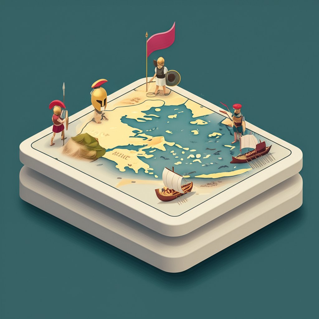
Ever wondered how a collection of independent city-states defeated the mightiest empire of its time? The story of the Greco-Persian Wars is one of unparalleled courage, strategic brilliance, and the profound influence of geography. While textbooks offer detailed accounts, truly grasping the scale and complexity of these epoch-defining conflicts, from the shores of Ancient Greece to the expansive dominion of Ancient Persia, demands a dynamic approach. This article invites you on an immersive journey, unveiling how an interactive map can transform your understanding, bringing the ancient world’s most epic clashes vividly to life. Prepare to navigate the battlefields, trace the empires, and uncover the pivotal moments that shaped Western civilization, all through the lens of a sophisticated Ancient Greece Map.
The Clash of Civilizations: Ancient Greece vs. Ancient Persia

The early 5th century BCE set the stage for one of history’s most compelling confrontations: the Greco-Persian Wars. On one side stood the vast Achaemenid Empire of Ancient Persia, a colossal power stretching from the Indus Valley to the Aegean Sea, boasting immense wealth, a centralized government, and a seemingly limitless army. On the other, the fragmented world of Ancient Greece, a mosaic of fiercely independent city-states (poleis) like Athens, Sparta, Corinth, and Thebes, each with its own customs, political systems (from democracy to oligarchy), and often, rivalries.
To truly visualize the immense scale of the Persian Empire and the strategic challenges faced by both sides, exploring an interactive map of Ancient Greece can be incredibly insightful, offering a dynamic perspective often missing from traditional texts. Ancient Greece map.
The Achaemenid Colossus: Power and Reach of Ancient Persia
The Persian Empire, founded by Cyrus the Great, was a marvel of ancient administration and military might. Its sheer size presented both a strength and a logistical challenge for its rulers, such as Darius I and his successor Xerxes I. With a population numbering in the tens of millions and an army composed of diverse ethnic groups, Persia projected an intimidating image. Its famous Royal Road, a testament to its engineering prowess, facilitated rapid communication and troop movements, yet still, the enormity of campaigning hundreds, if not thousands, of miles from home base remained a daunting task. Understanding the extent of Ancient Persia on an Ancient Greece Map immediately highlights the audacity of their campaigns and the incredible resources required to sustain them.
The Greek Mosaic: Independent City-States and Emerging Identity
In stark contrast, Ancient Greece was not a unified nation but a collection of autonomous entities. This decentralization, while often leading to internal conflicts, also fostered innovation, self-reliance, and a deep-seated love for eleutheria (freedom). The Archaic and Classical periods saw the development of unique political structures, artistic expressions, and philosophical thought that would form the bedrock of Western culture. The spirited independence of these Greek city-states would prove both a hindrance (in initial unified response) and a hidden strength (in adaptability and diverse military tactics) when faced with the centralized might of Persia. Visualizing these distinct city-states on an Ancient Greece Map helps contextualize their individual contributions and often shifting allegiances during the wars.
Igniting the Conflict: Key Battles and Turning Points of the Greco-Persian Wars
The spark that ignited the Greco-Persian Wars was the Ionian Revolt (499-493 BCE), where Greek cities in Asia Minor, under Persian dominion, rebelled with assistance from Athens and Eretria. This act of defiance stirred the wrath of Darius I, setting in motion a series of invasions that would test the Greeks to their very limits.
Marathon (490 BCE): The First Stand Against Imperial Might
Darius I’s first major punitive expedition led to the legendary Battle of Marathon. An outnumbered Athenian force, without immediate Spartan aid, achieved an astonishing victory against the Persian invaders on the coastal plain. This triumph was a testament to the tactical superiority of the heavily armored hoplite phalanx and inspired leadership, proving that the seemingly invincible Persians could be defeated. On an interactive map, Marathon can be pinpointed, allowing users to visualize the coastal plain and the strategic decisions that led to Greek victory against overwhelming odds, a moment that resonated throughout Ancient Greece.
Thermopylae and Salamis (480 BCE): Sacrifice and Naval Superiority
Ten years later, Xerxes I, Darius’s son, launched a massive invasion of Greece. His forces clashed with a small Greek contingent, led by King Leonidas of Sparta, at the narrow mountain pass of Thermopylae. This heroic last stand, though a defeat, bought crucial time for the rest of Greece to prepare and inspired fierce resistance across Ancient Greece. Simultaneously, the pivotal naval Battle of Salamis saw the Athenian fleet, under Themistocles, strategically outmaneuver and decimate the larger Persian navy in the narrow straits. This battle was a decisive turning point, crippling Persian logistical capabilities and shifting the balance of power in favor of the Greeks. An interactive map can brilliantly illustrate the confined, strategic geography of Thermopylae and the vital importance of the Salamis straits in this monumental naval clash.
Plataea and Mycale (479 BCE): Decisive Victories and the Aftermath
The following year, the combined Greek land forces achieved a decisive victory at Plataea, crushing the remaining Persian army on mainland Greece. Almost concurrently, the Greek navy destroyed the remnants of the Persian fleet at Mycale, effectively ending Persian ambitions in the Aegean and solidifying Greek control. These twin victories marked the effective conclusion of the main phase of the Greco-Persian Wars. Tracking these locations on an Ancient Greece Map clearly shows the geographical spread of the conflicts and the coordinated, if often strained, efforts of the Greek allies. The Greco-Persian Wars transitioned into the Wars of the Delian League, as Athens and its allies continued to push back Persian influence in the Aegean.
Geography as Destiny: The Aegean Sea, Mountains, and Persian Logistics

Geography was not merely a backdrop to the Greco-Persian Wars; it was an active participant, dictating strategies, shaping battles, and influencing outcomes. From the rugged mountains and intricate coastlines of Ancient Greece to the vast expanse of the Aegean Sea, the physical landscape played a crucial role.
The Aegean Sea: Strategic Battleground and Vital Trade Artery
The Aegean Sea acted as both a highway for invasion and a barrier against it. For the Persian Empire, it represented the pathway to Ancient Greece, but its many islands, narrow straits, and often unpredictable weather also posed significant challenges for their large fleet. For the Greeks, particularly the Athenians, mastery of the Aegean was paramount. Their agile triremes, combined with intimate knowledge of local waters, gave them a distinct advantage. Control over Aegean Sea Trade Routes was not just about economic prosperity; it was about maintaining supply lines, projecting power, and starving the enemy. An interactive map can overlay trade routes, naval battle locations, and troop movements, demonstrating the critical interplay between maritime strategy and supply chain logistics during the Greco-Persian Wars.
Rugged Terrain and Persian Logistical Challenges
The mountainous landscape of Ancient Greece inherently favored defensive warfare. Narrow passes, like Thermopylae, could be held by smaller forces against much larger armies, funneling invaders into unfavorable terrain. This geographical feature minimized the numerical superiority of the Persian forces. Furthermore, the sheer scale of the Persian invasion required immense logistical support for their vast numbers. The famous Royal Road, stretching over 1,600 miles, was vital for connecting the Persian heartland to its western satrapies. However, transporting supplies for hundreds of thousands of soldiers and cavalry across land and sea, especially far from established supply depots, stretched Persian resources to their breaking point. An Ancient Greece Map that extends to show the full reach of Ancient Persia visually emphasizes the colossal logistical undertaking of their campaigns.
Beyond the Battlefield: Political Structures and Lasting Impact
The Greco-Persian Wars were more than just military encounters; they were a clash of political philosophies that profoundly impacted the course of Western civilization. The aftermath saw a restructuring of power in Ancient Greece and the flourishing of Greek culture.
The Dynamics of Alliances: Unity Against a Common Enemy
The ability of the disparate Greek city-states to form alliances, notably the Hellenic League, was crucial to their survival. Despite their fierce independence and occasional internecine conflicts, the common threat of the Persian Empire compelled many to unite. Athens, with its formidable navy, and Sparta, with its invincible hoplites, often led these coalitions, demonstrating that collective action, even among rivals, could overcome overwhelming odds. This complex web of cooperation and competition is a hallmark of the Greco-Persian Wars. An interactive map can dynamically show the shifting allegiances and the geographical reach of these alliances at different stages of the conflict, revealing the political intricacies.
The Birth of the Golden Age and Western Thought
The Greek victory secured their independence, fundamentally shaping the political and cultural landscape of the ancient world and setting the stage for the “Golden Age of Athens” (Classical Greece) and the unparalleled contributions of Ancient Greece to democracy, philosophy, art, architecture, and literature. The wars solidified a nascent Greek identity, fostering a sense of shared culture and destiny. The principles of self-governance and individual liberty, defended against a centralized empire, became foundational ideals for subsequent Western thought. The legacy of the Greco-Persian Wars is thus inextricably linked to the very development of Western civilization, a narrative best understood when visualized on a comprehensive Ancient Greece Map. This era saw developments in coinage, the Greek alphabet, and extensive interactions with non-Greek peoples.
Unveiling History: The Power of an Interactive Map
In the digital age, understanding complex historical events like the Greco-Persian Wars is revolutionized by tools such as an interactive map. No longer confined to static illustrations in textbooks, users can now engage with history dynamically, exploring every nuance of the conflict.
What Makes an Interactive Map Indispensable for the Greco-Persian Wars?
An interactive map offers layers of information and engagement that a traditional map cannot, making the Greco-Persian Wars come alive. Imagine the ability to:
- Zoom and Pan: Explore the rugged terrain of Ancient Greece and the vast plains of Ancient Persia in granular detail, from the Cycladic civilization to Roman Greece.
- Clickable Markers: Discover rich multimedia content—text, images, videos—about key locations like Marathon, Thermopylae, Salamis, and Plataea, as well as profiles of figures like Xerxes, Leonidas, and Themistocles, and detailed descriptions of fortifications or monuments.
- Time-Lapse Features: Visualize the ebb and flow of empires, the movements of armies and fleets, and the changing borders and control over the decades of the Greco-Persian Wars. Track the expansion and contraction of Ancient Persia’s influence.
- Overlay Historical Data: Layer information such as trade routes (including those across the Aegean Sea), political alliances, troop numbers, naval deployments, and even archaeological discoveries, providing a multi-dimensional historical context.
- Terrain Visualization: Understand precisely how mountains, rivers, and coastlines dictated military strategies, supply lines, and the outcomes of battles. This helps explain why certain locations were chosen for conflict.
Such a dynamic Ancient Greece Map serves as a virtual time machine, allowing for deeper comprehension and a more memorable learning experience, appealing to both casual enthusiasts and serious students of history, providing context from the Stone & Bronze Age maps through the Hellenistic Era.
Creating Your Own Journey: How to Maximize an Ancient Greece Interactive Map
Leveraging an interactive map effectively can transform your understanding of the Greco-Persian Wars. Here are actionable tips to make the most of this powerful tool for historical exploration:
Step-by-Step Exploration of Battlefields and Empires
- Orient Yourself: Begin by familiarizing yourself with the overall geography of Ancient Greece and Ancient Persia. Understand the relationship between the Aegean Sea, mainland Greece, Anatolia, and the vast Persian heartland.
- Trace the Invasions: Use the map’s timeline features to follow the paths of Darius I’s and Xerxes I’s invasions. Notice the logistical challenges their armies faced, the distances covered, and the strategic points they targeted.
- Analyze Battle Sites: Zoom in on key battle locations. Consider the terrain, proximity to water, and strategic advantages or disadvantages for both sides. For Thermopylae, observe the narrow pass. For Salamis, note the confined straits that favored the smaller Greek fleet. An Interactive Map makes these tactical insights immediately apparent.
- Explore Political Spheres: Observe how the different Greek city-states were positioned. Were they coastal or inland? Which were allies in the Hellenic League, and which were neutral or even sided with Persia? Understanding these dynamics enhances the narrative of the Greco-Persian Wars.
- Identify Key Resources/Routes: Look for crucial trade routes or resource-rich areas that might have been strategic targets for either side. This reveals the economic underpinnings of the conflict.










