
Imagine stepping directly into the bustling heart of ancient Rome, not as a distant observer, but as an active explorer. Forget the limitations of static images and dusty textbooks. We are on the cusp of an archaeological and technological revolution, where cutting-edge digital tools transform how we experience history. This article isn’t just about reading about the past; it’s about living it. We’ll delve into the unparalleled power of the interactive map to bring the Roman city to life, offering a truly immersive journey through its intricate streets, monumental structures, and vibrant daily life. Prepare to uncover the secrets of ancient Rome with unprecedented detail and interactivity, redefining what it means to explore history.
Unearthing the Roman City Digitally: Why Interactive Maps are Game-Changers

For centuries, understanding ancient Rome meant poring over fragmented texts, deciphering archaeological reports, and squinting at hand-drawn Rome maps. While invaluable, these methods often left a gap between academic knowledge and visceral experience. The advent of sophisticated digital technology, particularly the interactive map, has begun to bridge this divide, offering dynamic, layered representations that revolutionize our engagement with history.
Beyond Textbooks: The Power of Visualizing Ancient Rome
The human brain processes visual information far more effectively than text. An interactive map of ancient Rome harnesses this cognitive advantage, transforming complex data into an intuitive, explorable landscape. Instead of simply reading about the Roman Forum, you can virtually walk through it, seeing the temples, basilicas, and triumphal arches in their reconstructed glory. This immersive visualization fosters a deeper connection to the past, allowing learners of all ages to grasp the scale, layout, and functionality of this remarkable civilization. It turns a historical narrative into a tangible, navigable world.
Bridging Eras: From Stone Tablets to Rome Map Pixels
The journey from early Roman cartography to modern digital representations is a testament to human ingenuity. Ancient Romans themselves produced incredibly detailed surveys, often etched in marble like the Forma Urbis Romae, which provided a massive, intricate Rome map of the city. Today, these historical fragments, combined with centuries of archaeological findings and textual evidence, form the raw data for digital reconstruction. Digital cartographers meticulously piece together this information, leveraging the power of pixels to create a seamless, dynamic overview of the Roman city. This process not only preserves ancient knowledge but makes it accessible and explorable for a global audience, allowing us to compare the ancient metropolis with its modern counterpart at the click of a button.
Bridging these eras requires innovative approaches, and much like the Gambara Maps project showcases for other historical locations, an interactive map can offer a similar detailed perspective of ancient Rome.
The Science Behind the Spectacle: Modern Urban Mapping of Ancient Rome
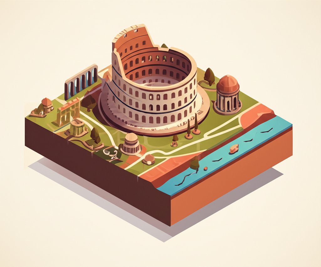
Creating a historically accurate and visually compelling interactive map of ancient Rome is a monumental undertaking, blending historical scholarship with cutting-edge technology. It’s a sophisticated form of urban mapping that draws on diverse disciplines to reconstruct a lost world.
GIS and Geospatial Data: The Foundation of Digital Rome Maps
At the heart of every robust digital Rome map lies Geographic Information Systems (GIS). GIS technology allows developers to collect, store, manage, and analyze vast amounts of geographic and spatial data. For ancient Rome, this means integrating details from:
By layering these diverse datasets in a GIS environment, researchers can perform spatial analysis, track changes over time, and build a foundational Rome map that is both scientifically rigorous and incredibly dynamic. This is the ultimate tool for understanding the urban planning of the Roman city.
3D Reconstruction and Photogrammetry: Bringing Structures to Life
Once the 2D GIS base is established, 3D reconstruction techniques breathe life into the architecture of ancient Rome.
These techniques allow for incredibly detailed and historically informed reconstructions, placing colossal structures like the Colosseum or the Imperial Fora into their proper spatial context within the Roman city.
AI and Machine Learning: Enhancing Accuracy and Detail
The future of urban mapping ancient Rome is increasingly intertwined with Artificial Intelligence (AI) and Machine Learning (ML).
These advanced tools enhance the accuracy and richness of the interactive map, pushing the boundaries of what’s possible in digital historical reconstruction.
Navigating the Past: What an Interactive Map of Ancient Rome Reveals
An interactive map of ancient Rome is more than just a visual treat; it’s a powerful educational and research tool. It allows users to delve into specific aspects of the Roman city, from its grandest monuments to the intricacies of daily life and sophisticated urban planning.
Key Landmarks and Their Evolution
With an interactive map, major Roman landmarks aren’t static points on a page but dynamic entities that change over centuries.
Daily Life and the Social Fabric of the Roman City
Beyond grand monuments, an interactive map provides a window into the everyday existence of its citizens.
Infrastructure Innovations: Roads, Aqueducts, and Urban Planning
The Romans were master engineers and urban planners, and their infrastructure is a testament to their administrative genius.
Who Benefits? Impact and Applications of Ancient Rome Interactive Maps
The transformative power of an interactive map of ancient Rome extends far beyond academic curiosity, offering tangible benefits to a diverse array of users.
For Educators & Students: Immersive Learning
- Virtual Field Trips: Take students on guided virtual tours of the Colosseum or Roman Forum, even if a physical trip is impossible.
- Interactive Assignments: Students can use layers to research specific periods or aspects of the Roman city, creating their own annotated paths or solving historical “mysteries.”
- Enhanced Engagement: The hands-on, exploratory nature of an interactive map makes learning about ancient Rome more captivating and memorable than traditional methods.
For Historians & Archaeologists: New Research Frontiers
- Spatial Analysis: Researchers can overlay different historical periods or types of data (e.g., population density, commercial zones) to identify patterns, test hypotheses, and uncover previously unseen correlations in urban planning.
- Reconstruction & Visualization: Used as a collaborative platform to refine reconstructions, visualize archaeological findings in context, and communicate complex data to peers and the public.
- Preservation Planning: Helps cultural heritage managers understand the integrity of existing ruins, plan conservation efforts, and model the impact of environmental changes on the Roman city.
For Travelers & Enthusiasts: Personalized Exploration
- Pre-Trip Planning: Visitors to modern Rome can use an interactive map of ancient Rome to understand how the ancient city overlays the present, enriching their on-site experience.
- Armchair Exploration: For those unable to travel, it offers an incredible way to explore ancient Rome from anywhere in the world, delving into specific interests from architecture to daily life.
- Augmented Reality (AR): Future applications will allow tourists on-site to hold up their devices and see virtual reconstructions of ancient Rome overlaid onto the modern ruins, creating a truly seamless historical experience.
For Urban Planning & Heritage Preservation
- Understanding Legacy: Modern urban planning can draw lessons from the Romans’ sophisticated infrastructure and city management, understanding the long-term impacts of design choices.
- Conservation Management: Digital maps provide essential tools for documenting, monitoring, and managing archaeological sites within the modern city, ensuring the preservation of Roman city remains for future generations.
Choosing & Using Your Digital Rome Map: A Practical Guide
Ready to embark on your digital exploration of ancient Rome? Here’s how to get the most out of an interactive map.
What to Look For: Accuracy, Features, and User Experience
When selecting an interactive map of ancient Rome, consider these factors:
Step-by-Step Exploration: Maximizing Your Interactive Map Experience
- Start Broad, Then Zoom In: Begin with an overview of the entire Roman city to grasp its general layout. Then, progressively zoom into areas that pique your interest, like the Forum or Palatine Hill.
- Utilize Layers and Time-Sliders: These are your most powerful tools. Toggle between different historical periods to observe the evolution of structures. Filter layers to see only temples, or residential areas, or the aqueduct network, revealing the complexity of urban mapping.
- Engage with Hotspots and Annotations: Click on buildings, statues, or points of interest to reveal detailed information, historical facts, images, and even textual excerpts.
- Take a Virtual Walk-Through: If available, utilize 3D walk-through features to experience the scale and atmosphere of ancient spaces as if you were there.
- Compare and Contrast: Use the map to compare the layout of ancient Rome with a modern Rome map to see how the city has changed (or surprisingly, how some ancient routes persist).
Future Horizons: AR, VR, and Collaborative Urban Mapping
The digital future of ancient Rome is incredibly exciting. Expect to see:
Conclusion
The interactive map is more than just a technological marvel; it’s a bridge across time, connecting us directly to the heart of ancient Rome. By leveraging sophisticated urban mapping techniques, GIS, 3D reconstruction, and AI, these digital wonders allow us to explore the intricate Roman city with unprecedented depth and detail. From understanding the genius of Roman urban planning to walking virtually through the Forum, the power to immerse ourselves in history is now at our fingertips. As technology continues to advance, our journey through ancient Rome will only become richer, more dynamic, and more profoundly engaging, ensuring that the legacy of this incredible civilization continues to inspire and educate for generations to come. The past is no longer a distant memory; it’s an accessible, explorable reality.
FAQ Section
Q1: What makes an interactive map of Ancient Rome historically accurate?
A1: Historical accuracy in an interactive map of ancient Rome stems from meticulous research and the integration of multiple data sources. This includes archaeological findings (excavation reports, site plans), ancient literary texts (descriptions from Roman authors), historical surveys like the Forma Urbis Romae, and comparative architectural studies. Reputable projects are usually developed by universities or archaeological institutes and are often peer-reviewed and continually updated as new evidence emerges, ensuring the Roman city is depicted as faithfully as possible.
Q2: Can I use these interactive maps for travel planning in modern Rome?
A2: While interactive maps of ancient Rome primarily focus on historical reconstruction, many include features that overlay ancient layouts onto modern Rome maps. This can be incredibly valuable for seeing how ancient sites relate to current landmarks and can certainly enhance your understanding when planning a visit. However, for practical navigation in modern Rome (e.g., public transport, current street names), you would still rely on contemporary mapping applications.
Q3: Are there free interactive maps of Ancient Rome available online?
A3: Yes, several excellent free interactive maps of ancient Rome are available online, often hosted by academic institutions or digital humanities projects. These resources vary in detail and features but provide accessible entry points for exploring the Roman city. A simple search for “free interactive map ancient Rome” will yield several options.
Q4: How do interactive maps help understand Roman city development and urban planning?
A4: Interactive maps are indispensable for understanding Roman city development and urban planning because they allow for dynamic, layered analysis. You can use time-sliders to observe the growth of the city from its foundation through different imperial periods, seeing how districts evolved, how infrastructure like roads and aqueducts expanded, and how urban mapping decisions impacted the city’s functionality and aesthetics. This visualization makes complex historical processes tangible and easy to comprehend.
Q5: What are the main technical challenges in creating an interactive map of Ancient Rome?
A5: Key technical challenges include:










