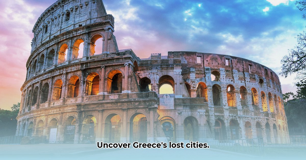
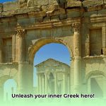
Have you ever wondered what made Ancient Greece so influential? This isn’t just another history lesson – it’s a captivating journey across the world map to explore this incredible civilization! Forget boring dates and dusty facts; we’ll uncover the rise and fall of its powerful city-states, examine its widespread influence across the Mediterranean, and reveal the surprising connections between geography, politics, and the enduring culture that has shaped our world. Prepare for a thrilling exploration – even if you’re new to Ancient Greek history, you’ll find this both engaging and easy to grasp. For a visual aid, check out this labeled Ancient Greece map.
Exploring Ancient Greece Through a World Map: Unveiling the Dynamics of Time and City-States
Embark on a journey through ancient Greece! Understanding this civilization is akin to assembling a complex puzzle, with each piece representing a polis (city-state). Archaeological findings and ancient texts provide valuable insights into the world of independent city-states. These poleis arose from a complex interplay of economic, social, and religious factors. It was not a uniform process; Athens and Sparta, for example, followed divergent paths reflecting the diverse political systems of the time.
While historians once pinpointed the 8th century BCE as a pivotal turning point, contemporary discoveries paint a more nuanced picture, shaped by gradual economic, social, and religious shifts. The political systems of Athens and Sparta took completely different paths. To understand ancient Greece fully, one must acknowledge the intricate interplay of the many factors involved.
A glance at the map reveals fragmented city-states vying for power. Was it this competition that fueled innovation, or also hindered their development? Reality is complex. Geography shaped the evolution and interactions of these poleis.
Reassessing the “Dark Ages”
The traditional view of the “Greek Dark Ages” (c. 1100-800 BCE) depicts a period of decline. However, archaeological discoveries like those at Lefkandi reveal the continuation of skilled craftsmanship and wealth, challenging the notion of universal collapse. Historians now question whether this era was a period of localized changes and adaptations rather than a universal decline. Further investigation is needed to fully understand a period of transformation.
The Significance of Synoikismos (Political Consolidation)
Synoikismos, the amalgamation of communities, was vital in the rise of the poleis. How did this unification occur? Was it voluntary, or were communities sometimes coerced? The world map reveals diverse paths to synoikismos. Athens centralized power in a singular way, whereas Sparta evolved from villages into a unified state. The significance of understanding diverse paths to unification is crucial.
The Role of External Forces and Mediterranean Commerce
Ancient Greece benefited from contact with other civilizations, like the Phoenicians. How did these interactions shape the poleis? Greek city-states developed through interactions with other societies and external forces. Trade routes across the Mediterranean Sea shaped the exchange of goods and ideas.
Athens and Sparta: A Comparative Analysis
The two powerful city-states compared:
Feature
Athens
Sparta
Early Development
Relatively early political unity
Evolved from a collection of villages into a unified state
Physical Layout
Concentrated urban center
Dispersed settlements
Political System
Progressed into a form of democracy
Oligarchy ruled by military elite
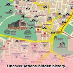
Maps: Visualizing More Than Locations
The study of ancient Greece goes beyond simple map locations. It’s about visualizing interactions, movement, and power dynamics. Maps illustrate the vast network of Greek colonies, demonstrating exploration and trade. Visualizing the complex interplay between these city-states enhances knowledge and our comprehension.
Studying ancient Greece using a world map provides a richer comprehension of its development than simple definitions and dates. Remember that what we know is just a current snapshot and future research may challenge our current understanding.
Regional Variations: How They Shaped the Development of Ancient Greek Poleis
Embark on an exploration of ancient Greece and how its geography shaped its civilization. Ancient Greece, a region of rugged mountains, coastlines, and fertile valleys, comprised independent city-states (poleis) shaped by their local environment. How did regional variations impact the development of ancient Greek poleis?
Mountains, Seas, and Natural Barriers
Greece’s mountainous terrain created natural barriers, impeding communication between settlements. This isolation fostered independent, self-governing poleis with unique cultures and political systems.
The sea provided a means for trade and colonization, connecting Greek cities to each other and the Mediterranean world. Coastal poleis such as Athens thrived through trade and naval power. The contrast between mountainous isolation and maritime connectivity characterized the ancient Greek world.
Economic Specialization: Beyond Basic Agriculture
The rocky soil of Greece was not suitable for large-scale grain production, and this resulted in a focus on crops like olives and grapes. This agricultural specialization influenced the economy and political systems. Some poleis developed commercial networks centered on olive oil, creating unique societal structures, showing reliance on the Mediterranean climate. This scarcity fostered innovation and competition.
Political Structures: Independence and Governance
Regional variations also influenced political structures; for example, the mountainous terrain encouraged decentralized, independent poleis. Athens, a coastal polis with maritime trade, evolved into a democracy, while Sparta, situated inland, became a militaristic oligarchy. Geography played a considerable role, influencing resource availability, social structures, and political organization.
Cultural Identity: A Collection of Local Traditions
Local traditions, deities, religious practices, and artistic styles flourished in different regions, with even dialects varying significantly. Each polis developed a vibrant local identity that contributed to the broad Hellenic identity.
A Diverse Legacy
The landscape of ancient Greece shaped the political, economic, and cultural development of the poleis, and this diversity contributed to the richness and complexity of ancient Greek civilization.
Key Takeaways:
Mountains of ancient Greece fostered independent city-states.
Abundant coastlines led to significant maritime trade and colonization.
Regional resources and terrain drove economic diversification.
Regional diversity resulted in varying forms of government.
Local traditions and cultural expressions flourished in each polis, establishing regional identities.
Ancient Greek Colonization: Mapping Trade Networks and Cultural Diffusion
Key Takeaways:
Ancient Greek trade utilized seafaring skills and colonization to create a vast Mediterranean network.
This trading network facilitated the exchange of essential goods.
Ancient Greek colonization was crucial for the spread of Greek culture.
The impact on Greek prosperity and cultural influence is undeniable.
The Sea: The Core of Ancient Greece
The Mediterranean Sea was the lifeline of ancient Greece, and their mastery of shipbuilding and navigation allowed them to establish a vast maritime network. It also linked their bustling city-states in commerce and cultural exchange.
A Vast Network of Colonies: Expansion and Influence
The establishment of colonies played a vital role in this far-reaching network. Greek colonies acted as trading hubs, connecting the mother country to distant markets and resources.
Traded Goods
The goods exchanged were diverse, from olive oil, wine, and pottery to grains, metals, and luxuries. Greek colonies specialized in producing goods, creating interdependence among city-states and their settlements.
The Uluburun Shipwreck: A Look into the Past
Archaeological finds illustrate ancient trade. The Uluburun shipwreck uncovered goods from across the Mediterranean, providing insights into ancient maritime trade.
Beyond Economics: Cultural Diffusion
Trade also facilitated the exchange of ideas, beliefs, and artistic styles. Greek culture spread across the Mediterranean, influencing the societies it encountered.
Navigating Challenges: Instability and Rivalry
Political instability disrupted trade routes, and competition from the Phoenicians drove innovation. The Greek maritime network proved resilient despite these obstacles.
Mapping the Network: Visualizing Ancient Connections
Reconstructing these ancient trade routes on a map shows the movement of goods and people, bringing the ancient world to life. Ancient trade and cultural exchange shaped civilization.
Regional Variations in the Structures of Ancient Greek Poleis: A Comparative Perspective
Key Takeaways:
The Greek polis shows both internal evolution and external influences from Near Eastern city-states.
Similarities between Greek and Near Eastern city-states are structural.
Analyzing power structures offers a tool for comparing these societies.
The “Dark Ages” shaped the polis, but the extent of Near Eastern influence is debated.
The Polis: A Mix of Old and New Ideas
The polis, the independent city-state, is both a Greek invention with revealed similarities to city-states of the Near East. Did the seeds of Greek democracy come from the fertile crescent?
Shared Cultural Traits
Urban centers in the Near East featured councils and assemblies participating in governance and judicial processes. While the structure differed, civic participation resonates across cultures. Linear B tablets hint at hierarchies in Mycenaean society.
The “Dark Ages”
The Greek Dark Ages provided fertile ground for change. Societal shifts during the Dark Ages created a clean slate for a new political order. External influence remains a topic of debate.
Regional variations: A Comparative Lens
Looking at different regions reveals striking variations. The same is true when comparing different Near Eastern city-states. Should this diversity be a product of local conditions.
Nuances and Debates: Evidence
Interpretations are challenging as the degree of direct influence is debated. Ancient Greek sources portray their systems favorably while portraying Near Eastern systems negatively, and this should be factored into our analysis.
Mapping the Interactions: A Visual Journey
Visualizing the flow of information between Near Eastern city-states and Greek poleis is vital.
Moving Forward: Interpreting Research
Future research should refine our understanding and challenge biases. We need to look at assemblies, legal codes, and daily life in both regions. By investigating governance models and their long-term impacts.
Hello, My love for writing is rivaled only by my passion for in-depth research. While many may skim the surface, I dive deep, seeking the hidden gems of information that give a story texture and depth. Every word I write is backed by hours of exploration, ensuring that my work is not just compelling, but also meticulously accurate. Join me on a journey where every piece is a deep dive into the realms of knowledge and storytelling.